
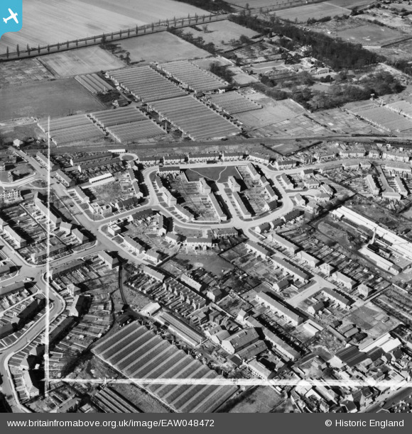
EAW048472 ENGLAND (1953). The residential area surrounding Kenworth Close and Park Lane, Waltham Cross, 1953. This image was marked by Aerofilms Ltd for photo editing.
© Copyright OpenStreetMap contributors and licensed by the OpenStreetMap Foundation. 2025. Cartography is licensed as CC BY-SA.
Nearby Images (16)
EAW048472

EAW048473

EAW048474

EAW048476

EAW048479

EAW048477

EAW048480

EAW048486

EAW048485

EAW048475

EAW048481

EAW048483

EAW048484

EAW048478

EAW048482

EPW013336

Details
| Title | [EAW048472] The residential area surrounding Kenworth Close and Park Lane, Waltham Cross, 1953. This image was marked by Aerofilms Ltd for photo editing. |
| Reference | EAW048472 |
| Date | 28-February-1953 |
| Link | |
| Place name | WALTHAM CROSS |
| Parish | |
| District | |
| Country | ENGLAND |
| Easting / Northing | 535754, 200624 |
| Longitude / Latitude | -0.035904371816335, 51.687476853719 |
| National Grid Reference | TL358006 |
Pins

tiv |
Sunday 27th of May 2018 08:16:50 PM | |
|
Ray Flack |
Monday 16th of June 2014 03:24:24 PM | |
|
Ray Flack |
Monday 16th of June 2014 03:23:55 PM | |
|
Ray Flack |
Monday 16th of June 2014 03:22:28 PM | |
|
Ray Flack |
Monday 16th of June 2014 03:21:35 PM |