
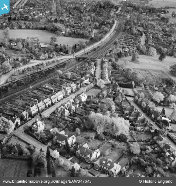
EAW047643 ENGLAND (1952). Tennyson Road, Harpenden, 1952
© Copyright OpenStreetMap contributors and licensed by the OpenStreetMap Foundation. 2026. Cartography is licensed as CC BY-SA.
Nearby Images (8)
EAW047643

EAW047649

EAW047651

EAW047653

EAW047650

EPW007533

EPW023926

EPW023929

Details
| Title | [EAW047643] Tennyson Road, Harpenden, 1952 |
| Reference | EAW047643 |
| Date | 27-October-1952 |
| Link | |
| Place name | HARPENDEN |
| Parish | HARPENDEN |
| District | |
| Country | ENGLAND |
| Easting / Northing | 513355, 214995 |
| Longitude / Latitude | -0.35512926326885, 51.821619587857 |
| National Grid Reference | TL134150 |
Pins

John Wass |
Friday 20th of October 2017 02:18:38 PM | |
|
John W |
Thursday 1st of September 2016 09:33:05 PM | |
|
John W |
Thursday 1st of September 2016 09:32:01 PM | |
|
John W |
Thursday 1st of September 2016 09:28:13 PM | |
|
John W |
Thursday 1st of September 2016 09:25:32 PM |