
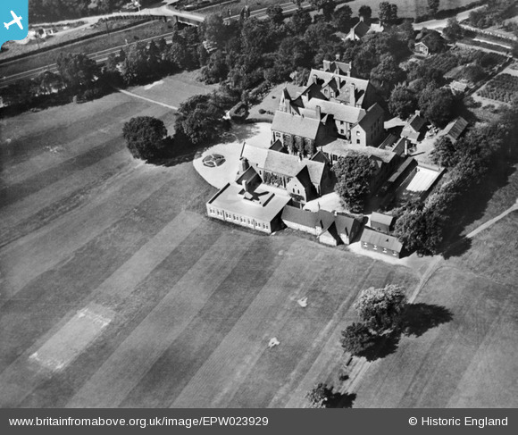
EPW023929 ENGLAND (1928). St George's School, Harpenden, 1928
© Copyright OpenStreetMap contributors and licensed by the OpenStreetMap Foundation. 2026. Cartography is licensed as CC BY-SA.
Nearby Images (7)
EPW023929

EPW023926

EPW061130

EAW047653

EAW047643

EAW006927

EAW006928

Details
| Title | [EPW023929] St George's School, Harpenden, 1928 |
| Reference | EPW023929 |
| Date | September-1928 |
| Link | |
| Place name | HARPENDEN |
| Parish | HARPENDEN |
| District | |
| Country | ENGLAND |
| Easting / Northing | 513602, 214865 |
| Longitude / Latitude | -0.35158935220715, 51.820400939717 |
| National Grid Reference | TL136149 |
Pins
Be the first to add a comment to this image!