
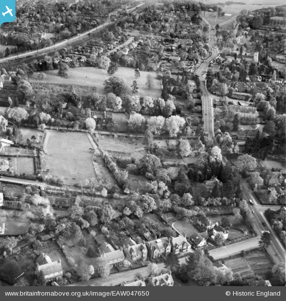
EAW047650 ENGLAND (1952). Hardenwick School Playing Field, Luton Road and the surrounding area, Harpenden, 1952
© Copyright OpenStreetMap contributors and licensed by the OpenStreetMap Foundation. 2026. Cartography is licensed as CC BY-SA.
Nearby Images (7)
EAW047650

EAW047652

EAW047649

EAW047651

EAW047643

EAW047653

EPW023927

Details
| Title | [EAW047650] Hardenwick School Playing Field, Luton Road and the surrounding area, Harpenden, 1952 |
| Reference | EAW047650 |
| Date | 27-October-1952 |
| Link | |
| Place name | HARPENDEN |
| Parish | HARPENDEN |
| District | |
| Country | ENGLAND |
| Easting / Northing | 513175, 214880 |
| Longitude / Latitude | -0.35777763878005, 51.820622424144 |
| National Grid Reference | TL132149 |
Pins

John W |
Sunday 5th of March 2017 07:58:06 PM |