
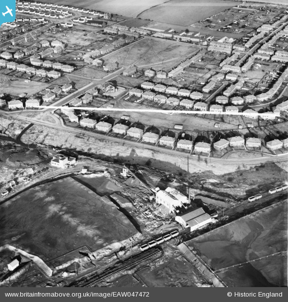
EAW047472 ENGLAND (1952). Upton Colliery and housing around Wrangbrook Road and Main Street, Upton, 1952. This image was marked by Aerofilms Ltd for photo editing.
© Copyright OpenStreetMap contributors and licensed by the OpenStreetMap Foundation. 2025. Cartography is licensed as CC BY-SA.
Nearby Images (17)
EAW047472

EPW020763

EPW020766

EPW020765

EAW047473

EPW020761

EPW020767

EAW047469

EPW020760

EPW020762

EAW047474

EAW047470

EAW047475

EAW047471

EPW020764

EAW047468

EAW047476A

Details
| Title | [EAW047472] Upton Colliery and housing around Wrangbrook Road and Main Street, Upton, 1952. This image was marked by Aerofilms Ltd for photo editing. |
| Reference | EAW047472 |
| Date | 10-October-1952 |
| Link | |
| Place name | UPTON |
| Parish | UPTON |
| District | |
| Country | ENGLAND |
| Easting / Northing | 448632, 413546 |
| Longitude / Latitude | -1.2647607580622, 53.615963856036 |
| National Grid Reference | SE486135 |
Pins

Sue |
Tuesday 21st of April 2015 08:01:29 PM | |
|
Sue |
Tuesday 21st of April 2015 08:00:41 PM | |
|
Sue |
Tuesday 21st of April 2015 07:59:26 PM | |
|
Sue |
Tuesday 21st of April 2015 07:58:34 PM | |
|
Sue |
Tuesday 21st of April 2015 07:55:26 PM | |
|
Sue |
Tuesday 21st of April 2015 07:52:56 PM | |
|
Sue |
Tuesday 21st of April 2015 07:51:44 PM | |
|
Sue |
Tuesday 21st of April 2015 07:51:41 PM |