
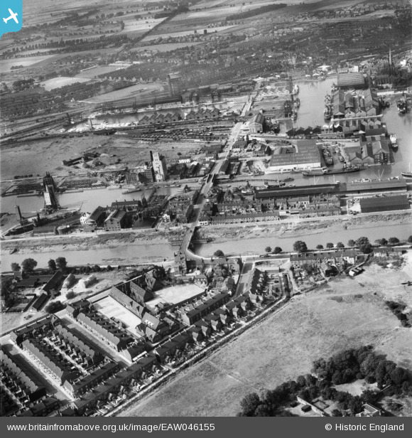
EAW046155 ENGLAND (1952). Old Goole Bridge, Bridge Street and environs, Goole, 1952
© Copyright OpenStreetMap contributors and licensed by the OpenStreetMap Foundation. 2026. Cartography is licensed as CC BY-SA.
Nearby Images (9)
EAW046155

EPW031413

EPW048854

EAW022515

EPW012840

EPW031412

EAW046154

EAW046152

EAW046085

Details
| Title | [EAW046155] Old Goole Bridge, Bridge Street and environs, Goole, 1952 |
| Reference | EAW046155 |
| Date | 22-August-1952 |
| Link | |
| Place name | GOOLE |
| Parish | GOOLE |
| District | |
| Country | ENGLAND |
| Easting / Northing | 474468, 422854 |
| Longitude / Latitude | -0.87199847299412, 53.696583070063 |
| National Grid Reference | SE745229 |
Pins

redmist |
Tuesday 12th of May 2020 03:15:22 PM | |
|
redmist |
Monday 11th of May 2020 11:21:26 PM | |
|
redmist |
Monday 11th of May 2020 11:20:57 PM | |
|
redmist |
Monday 11th of May 2020 11:20:07 PM | |
|
redmist |
Monday 11th of May 2020 11:19:22 PM |
User Comment Contributions
Bridge known locally as Dutch River Bridge. |
IanB |
Monday 10th of November 2014 03:40:50 AM |