
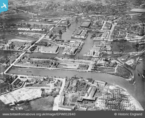
EPW012840 ENGLAND (1925). Dutch River and Goole Docks, Goole, 1925. This image has been produced from a copy-negative.
© Copyright OpenStreetMap contributors and licensed by the OpenStreetMap Foundation. 2026. Cartography is licensed as CC BY-SA.
Nearby Images (14)
EPW012840

EPW048854

EAW046152

EAW046154

EPW031414

EAW046195

EPW031449

EAW022515

EPW048855

EPW031413

EAW046155

EAW046156

EPW031445

EAW046153

Details
| Title | [EPW012840] Dutch River and Goole Docks, Goole, 1925. This image has been produced from a copy-negative. |
| Reference | EPW012840 |
| Date | May-1925 |
| Link | |
| Place name | GOOLE |
| Parish | GOOLE |
| District | |
| Country | ENGLAND |
| Easting / Northing | 474633, 423021 |
| Longitude / Latitude | -0.86945945359144, 53.698060411046 |
| National Grid Reference | SE746230 |
Pins

Brick Collector |
Tuesday 27th of January 2015 09:46:42 PM |