
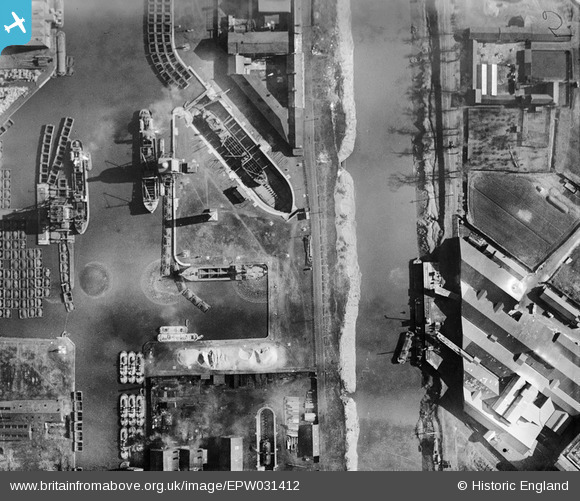
EPW031412 ENGLAND (1930). The Dutch River and the South Dock, Goole, 1930
© Copyright OpenStreetMap contributors and licensed by the OpenStreetMap Foundation. 2026. Cartography is licensed as CC BY-SA.
Nearby Images (11)
EPW031412

EAW046085

EAW046086

EAW022513

EAW046080

EAW046084

EAW046155

EPW031421

EPW031413

EPW031411

EAW046087

Details
| Title | [EPW031412] The Dutch River and the South Dock, Goole, 1930 |
| Reference | EPW031412 |
| Date | February-1930 |
| Link | |
| Place name | GOOLE |
| Parish | GOOLE |
| District | |
| Country | ENGLAND |
| Easting / Northing | 474242, 422784 |
| Longitude / Latitude | -0.87543784406311, 53.695986131154 |
| National Grid Reference | SE742228 |
Pins

Davethe |
Thursday 24th of July 2014 12:02:59 PM | |
|
Davethe |
Thursday 24th of July 2014 12:01:20 PM | |
|
Davethe |
Thursday 24th of July 2014 12:00:02 PM | |
|
John Wass |
Saturday 5th of July 2014 11:41:27 AM |