
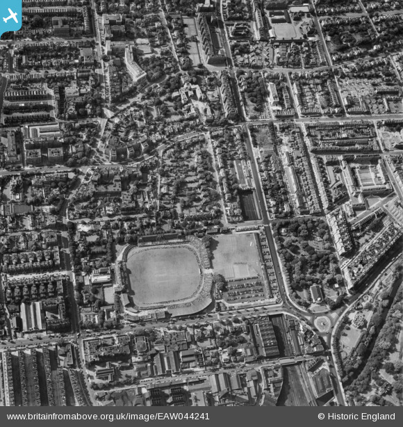
EAW044241 ENGLAND (1952). Lord's Cricket Ground and the surrounding area, St John's Wood, 1952
© Copyright OpenStreetMap contributors and licensed by the OpenStreetMap Foundation. 2026. Cartography is licensed as CC BY-SA.
Nearby Images (40)
EAW044241

EPW021969

EAW015849

EAW018353

EAW030526
 underway at Lord's Cricket Ground, 1950")
EAW006466

EAW024223

EAW024224

EAW030528
 underway at Lord's Cricket Ground, 1950")
EPW031880

EPW039574

EAW006465

EPW006681

EPW006155

EAW015848

EPW006684

EPW006688

EAW030527
 underway at Lord's Cricket Ground, 1950")
EPW020699

EPW015772

EAW006464

EPW020697

EAW024225

EPW006683

EPW020915

EPW006686

EPW005641

EPW006682

EPW020916

EPW006687

EAW018354

EAW044240

EPW020912

EPW021968

EPW020698

EPW020917

EPW020911

EPW020914

EPW020913

EAW018355

Details
| Title | [EAW044241] Lord's Cricket Ground and the surrounding area, St John's Wood, 1952 |
| Reference | EAW044241 |
| Date | 23-June-1952 |
| Link | |
| Place name | ST JOHN'S WOOD |
| Parish | |
| District | |
| Country | ENGLAND |
| Easting / Northing | 526835, 182942 |
| Longitude / Latitude | -0.17126991969488, 51.530641723797 |
| National Grid Reference | TQ268829 |
Pins

rawanhussin |
Monday 7th of October 2024 06:12:13 PM | |
|
a christie |
Tuesday 14th of April 2020 04:21:44 PM |