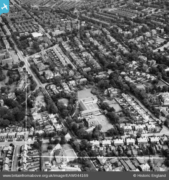
EAW044169 ENGLAND (1952). St Anselm's College and the surrounding residential area, Birkenhead, 1952. This image was marked by Aerofilms Ltd for photo editing.
    © Copyright OpenStreetMap contributors and licensed by the OpenStreetMap Foundation. 2025. Cartography is licensed as CC BY-SA.
  
Nearby Images (6)
Details
| Title | [EAW044169] St Anselm's College and the surrounding residential area, Birkenhead, 1952. This image was marked by Aerofilms Ltd for photo editing. | 
| Reference | EAW044169 | 
| Date | 19-July-1952 | 
| Link | |
| Place name | BIRKENHEAD | 
| Parish | |
| District | |
| Country | ENGLAND | 
| Easting / Northing | 330491, 388583 | 
| Longitude / Latitude | -3.0452828804102, 53.389242822085 | 
| National Grid Reference | SJ305886 | 
Pins
|  St.Hugh's Boys School. (The Yossers). |   XMAS DAY | Tuesday 5th of November 2024 08:55:36 PM | 
|  Park Road South. |   XMAS DAY | Tuesday 5th of November 2024 08:51:15 PM | 
|  St. Anselms College. |   XMAS DAY | Tuesday 5th of November 2024 08:49:51 PM | 
|  Nazareth House. |   XMAS DAY | Tuesday 5th of November 2024 08:48:50 PM | 
|  Grange Road West Drill Hall. |   XMAS DAY | Tuesday 5th of November 2024 08:47:50 PM | 
|  Williamson Art Gallery |   Kylix | Friday 10th of December 2021 11:48:22 AM | 
|  Slatey Road 1956 |   CaptainTom | Friday 8th of January 2021 02:50:19 AM | 
|  Birkenhead Park school for girls 1956. |   CaptainTom | Friday 8th of January 2021 02:38:23 AM | 
|  73 Park Road South. |   CaptainTom | Friday 8th of January 2021 02:36:50 AM | 
|  Park Road South. |   CaptainTom | Friday 8th of January 2021 02:36:26 AM | 
|  This is Cole street primary school, 1956 |   CaptainTom | Friday 8th of January 2021 02:35:20 AM | 
 
             
  ![[EAW044169] St Anselm's College and the surrounding residential area, Birkenhead, 1952. This image was marked by Aerofilms Ltd for photo editing.](http://britainfromabove.org.uk/sites/all/libraries/aerofilms-images/public/100x100/EAW/044/EAW044169.jpg) 
  
                                          ![[EAW044165] St Anselm's College and the surrounding residential area, Birkenhead, 1952. This image was marked by Aerofilms Ltd for photo editing.](http://britainfromabove.org.uk/sites/all/libraries/aerofilms-images/public/100x100/EAW/044/EAW044165.jpg) 
 ![[EAW044167] St Anselm's College and the surrounding residential area, Birkenhead, 1952. This image was marked by Aerofilms Ltd for photo editing.](http://britainfromabove.org.uk/sites/all/libraries/aerofilms-images/public/100x100/EAW/044/EAW044167.jpg) 
 ![[EAW044168] St Anselm's College and the surrounding residential area, Birkenhead, 1952. This image was marked by Aerofilms Ltd for photo editing.](http://britainfromabove.org.uk/sites/all/libraries/aerofilms-images/public/100x100/EAW/044/EAW044168.jpg) 
 ![[EAW044166] St Anselm's College and the surrounding residential area, Birkenhead, 1952. This image was marked by Aerofilms Ltd for photo editing.](http://britainfromabove.org.uk/sites/all/libraries/aerofilms-images/public/100x100/EAW/044/EAW044166.jpg) 
 ![[EAW001782] Birkenhead Park (Lower Park) and environs, Claughton, 1946](http://britainfromabove.org.uk/sites/all/libraries/aerofilms-images/public/100x100/EAW/001/EAW001782.jpg)