
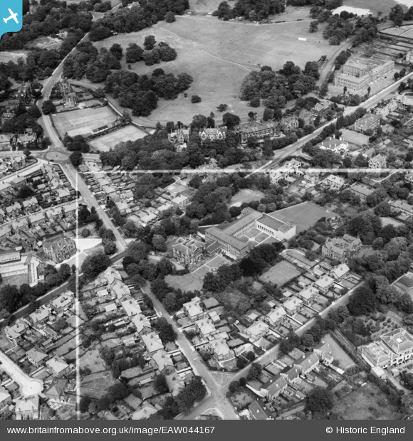
EAW044167 ENGLAND (1952). St Anselm's College and the surrounding residential area, Birkenhead, 1952. This image was marked by Aerofilms Ltd for photo editing.
© Copyright OpenStreetMap contributors and licensed by the OpenStreetMap Foundation. 2026. Cartography is licensed as CC BY-SA.
Nearby Images (5)
EAW044167

EAW044168

EAW044165

EAW044169

EAW044166

Details
| Title | [EAW044167] St Anselm's College and the surrounding residential area, Birkenhead, 1952. This image was marked by Aerofilms Ltd for photo editing. |
| Reference | EAW044167 |
| Date | 19-June-1952 |
| Link | |
| Place name | BIRKENHEAD |
| Parish | |
| District | |
| Country | ENGLAND |
| Easting / Northing | 330396, 388667 |
| Longitude / Latitude | -3.0467297610564, 53.389985310472 |
| National Grid Reference | SJ304887 |
Pins

CaptainTom |
Friday 8th of January 2021 02:43:37 AM |