
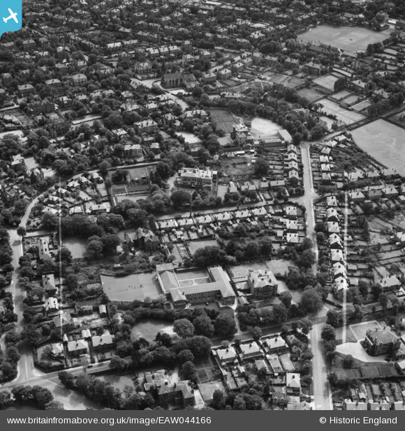
EAW044166 ENGLAND (1952). St Anselm's College and the surrounding residential area, Birkenhead, 1952. This image was marked by Aerofilms Ltd for photo editing.
© Copyright OpenStreetMap contributors and licensed by the OpenStreetMap Foundation. 2026. Cartography is licensed as CC BY-SA.
Nearby Images (6)
EAW044166

EAW044165

EAW044168

EAW044167

EAW044169

EPW013683

Details
| Title | [EAW044166] St Anselm's College and the surrounding residential area, Birkenhead, 1952. This image was marked by Aerofilms Ltd for photo editing. |
| Reference | EAW044166 |
| Date | 19-June-1952 |
| Link | |
| Place name | BIRKENHEAD |
| Parish | |
| District | |
| Country | ENGLAND |
| Easting / Northing | 330340, 388513 |
| Longitude / Latitude | -3.0475377692108, 53.388593754201 |
| National Grid Reference | SJ303885 |
Pins
Be the first to add a comment to this image!