
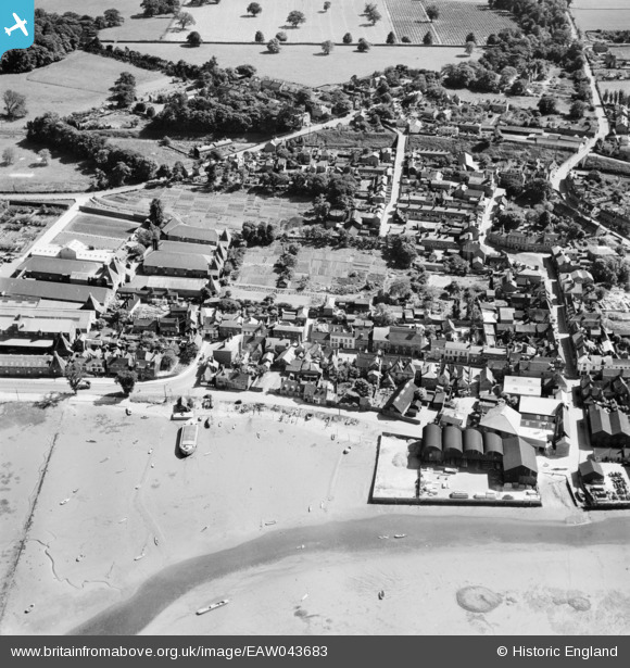
EAW043683 ENGLAND (1952). The waterfront and town, Manningtree, 1952
© Copyright OpenStreetMap contributors and licensed by the OpenStreetMap Foundation. 2026. Cartography is licensed as CC BY-SA.
Nearby Images (16)
EAW043683

EAW043684

EAW031070

EPW049129

EAW031073

EAW031069

EAW031072

EAW031064

EAW043682

EAW031065

EAW043685

EAW031066

EAW031067

EAW031068

EPW018544

EAW031071

Details
| Title | [EAW043683] The waterfront and town, Manningtree, 1952 |
| Reference | EAW043683 |
| Date | 4-June-1952 |
| Link | |
| Place name | MANNINGTREE |
| Parish | MANNINGTREE |
| District | |
| Country | ENGLAND |
| Easting / Northing | 610790, 231841 |
| Longitude / Latitude | 1.0673418892067, 51.944633316293 |
| National Grid Reference | TM108318 |
Pins

TheCreteFleet |
Friday 6th of December 2024 01:24:29 PM |