
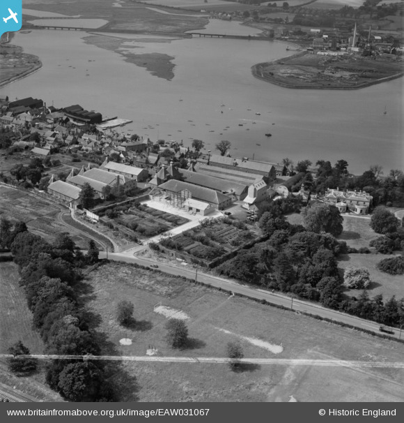
EAW031067 ENGLAND (1950). The Dalgety Maltings, Manningtree, 1950. This image was marked by Aerofilms Ltd for photo editing.
© Copyright OpenStreetMap contributors and licensed by the OpenStreetMap Foundation. 2026. Cartography is licensed as CC BY-SA.
Nearby Images (13)
EAW031067

EAW031066

EAW031071

EAW031064

EAW031069

EAW031073

EAW031068

EAW031072

EAW031065

EAW031070

EAW043684

EAW043683

EPW049129

Details
| Title | [EAW031067] The Dalgety Maltings, Manningtree, 1950. This image was marked by Aerofilms Ltd for photo editing. |
| Reference | EAW031067 |
| Date | 19-July-1950 |
| Link | |
| Place name | MANNINGTREE |
| Parish | MISTLEY |
| District | |
| Country | ENGLAND |
| Easting / Northing | 610951, 231803 |
| Longitude / Latitude | 1.0696577594498, 51.944231097191 |
| National Grid Reference | TM110318 |
Pins

Matt Aldred edob.mattaldred.com |
Saturday 20th of June 2026 05:02:03 PM |