
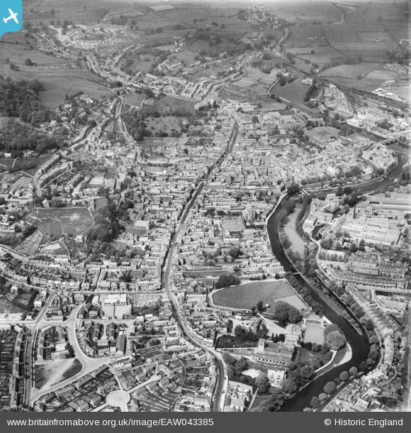
EAW043385 ENGLAND (1952). The town, Kendal, 1952
© Copyright OpenStreetMap contributors and licensed by the OpenStreetMap Foundation. 2026. Cartography is licensed as CC BY-SA.
Nearby Images (11)
EAW043385

EAW043384

EPW038828

EPW038830

EAW014500

EPW026547

EPW026543

EPW026538

EPW038827

EPW026540

EPW026537

Details
| Title | [EAW043385] The town, Kendal, 1952 |
| Reference | EAW043385 |
| Date | 13-May-1952 |
| Link | |
| Place name | KENDAL |
| Parish | KENDAL |
| District | |
| Country | ENGLAND |
| Easting / Northing | 351521, 492562 |
| Longitude / Latitude | -2.7454960111263, 54.326174237547 |
| National Grid Reference | SD515926 |
Pins

David960 |
Thursday 3rd of August 2017 01:41:32 PM |