
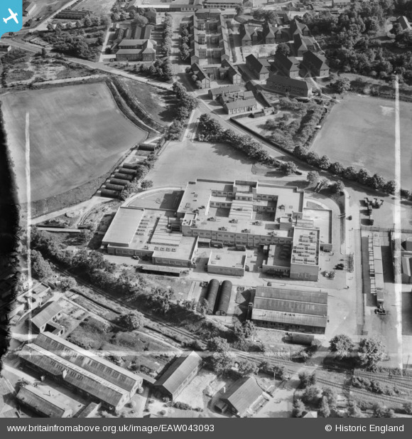
EAW043093 ENGLAND (1952). Part of Aldershot Camp, Aldershot, 1952. This image was marked by Aerofilms Ltd for photo editing.
© Copyright OpenStreetMap contributors and licensed by the OpenStreetMap Foundation. 2025. Cartography is licensed as CC BY-SA.
Nearby Images (9)
EAW043093

EAW043089

EAW043090

EAW043094

EAW043088

EAW043091

EAW043092

EAW043086

EAW043087

Details
| Title | [EAW043093] Part of Aldershot Camp, Aldershot, 1952. This image was marked by Aerofilms Ltd for photo editing. |
| Reference | EAW043093 |
| Date | 17-May-1952 |
| Link | |
| Place name | ALDERSHOT |
| Parish | |
| District | |
| Country | ENGLAND |
| Easting / Northing | 487735, 151965 |
| Longitude / Latitude | -0.74250103321505, 51.259575652545 |
| National Grid Reference | SU877520 |
Pins

redmist |
Monday 31st of May 2021 10:11:27 AM | |
|
redmist |
Monday 31st of May 2021 10:10:59 AM | |
|
redmist |
Monday 31st of May 2021 10:10:36 AM | |
|
The Laird |
Monday 13th of July 2015 11:48:19 AM | |
|
The Laird |
Sunday 12th of July 2015 03:03:21 PM |