
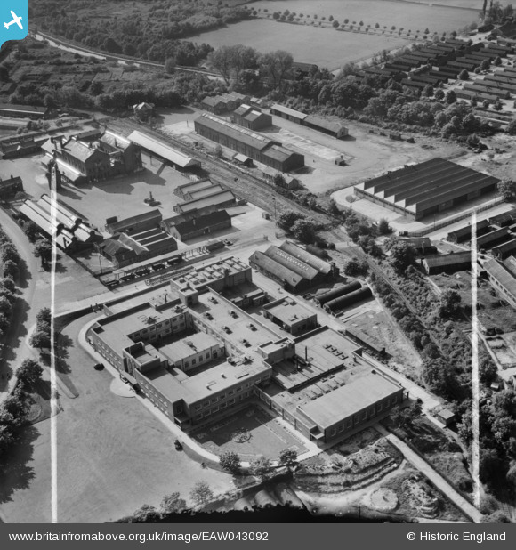
EAW043092 ENGLAND (1952). Part of Aldershot Camp, Aldershot, 1952. This image was marked by Aerofilms Ltd for photo editing.
© Copyright OpenStreetMap contributors and licensed by the OpenStreetMap Foundation. 2025. Cartography is licensed as CC BY-SA.
Nearby Images (9)
EAW043092

EAW043091

EAW043086

EAW043094

EAW043089

EAW043087

EAW043093

EAW043088

EAW043090

Details
| Title | [EAW043092] Part of Aldershot Camp, Aldershot, 1952. This image was marked by Aerofilms Ltd for photo editing. |
| Reference | EAW043092 |
| Date | 17-May-1952 |
| Link | |
| Place name | ALDERSHOT |
| Parish | |
| District | |
| Country | ENGLAND |
| Easting / Northing | 487669, 152014 |
| Longitude / Latitude | -0.74343474922746, 51.260026353308 |
| National Grid Reference | SU877520 |
Pins

DavidB |
Wednesday 31st of August 2022 07:26:40 PM | |
|
DavidB |
Wednesday 31st of August 2022 07:26:16 PM | |
|
redmist |
Monday 31st of May 2021 10:08:12 AM | |
|
redmist |
Monday 31st of May 2021 10:07:37 AM | |
|
redmist |
Monday 31st of May 2021 10:07:18 AM |