
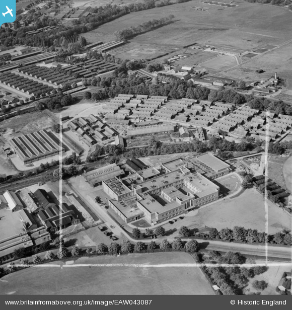
EAW043087 ENGLAND (1952). Part of Aldershot Camp, Aldershot, 1952. This image was marked by Aerofilms Ltd for photo editing.
© Copyright OpenStreetMap contributors and licensed by the OpenStreetMap Foundation. 2025. Cartography is licensed as CC BY-SA.
Nearby Images (9)
EAW043087

EAW043094

EAW043088

EAW043086

EAW043091

EAW043092

EAW043090

EAW043093

EAW043089

Details
| Title | [EAW043087] Part of Aldershot Camp, Aldershot, 1952. This image was marked by Aerofilms Ltd for photo editing. |
| Reference | EAW043087 |
| Date | 17-May-1952 |
| Link | |
| Place name | ALDERSHOT |
| Parish | |
| District | |
| Country | ENGLAND |
| Easting / Northing | 487733, 152065 |
| Longitude / Latitude | -0.7425051577122, 51.260475031225 |
| National Grid Reference | SU877521 |
