
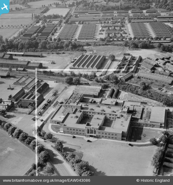
EAW043086 ENGLAND (1952). Part of Aldershot Camp, Aldershot, 1952. This image was marked by Aerofilms Ltd for photo editing.
© Copyright OpenStreetMap contributors and licensed by the OpenStreetMap Foundation. 2025. Cartography is licensed as CC BY-SA.
Nearby Images (9)
EAW043086

EAW043091

EAW043092

EAW043094

EAW043087

EAW043089

EAW043093

EAW043088

EAW043090

Details
| Title | [EAW043086] Part of Aldershot Camp, Aldershot, 1952. This image was marked by Aerofilms Ltd for photo editing. |
| Reference | EAW043086 |
| Date | 17-May-1952 |
| Link | |
| Place name | ALDERSHOT |
| Parish | |
| District | |
| Country | ENGLAND |
| Easting / Northing | 487676, 152031 |
| Longitude / Latitude | -0.74333027560265, 51.260178118597 |
| National Grid Reference | SU877520 |
Pins

redmist |
Monday 31st of May 2021 09:30:53 AM | |
|
The Laird |
Monday 13th of July 2015 12:07:47 PM | |
|
The Laird |
Monday 13th of July 2015 12:03:44 PM | |
|
The Laird |
Monday 13th of July 2015 11:59:10 AM | |
|
The Laird |
Monday 13th of July 2015 11:58:19 AM | |
|
The Laird |
Monday 13th of July 2015 11:51:46 AM |