
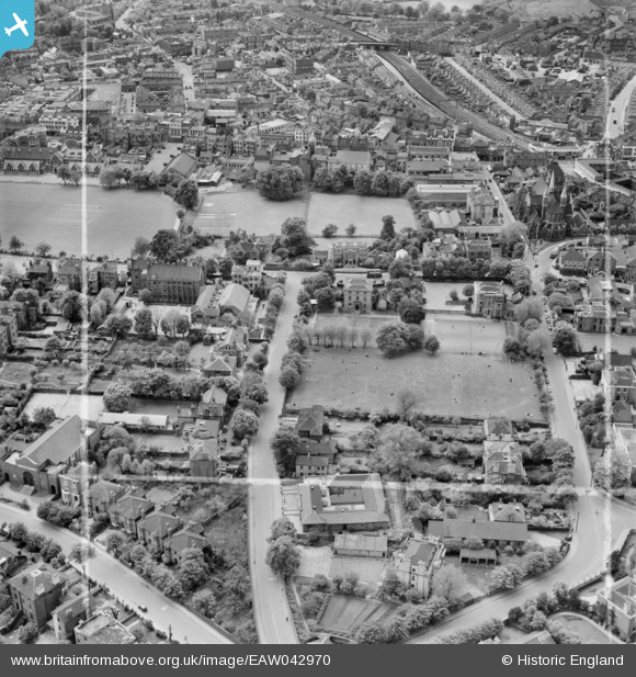
EAW042970 ENGLAND (1952). Croydon High School for Girls, Sydenham Road and environs, Croydon, 1952. This image was marked by Aerofilms Ltd for photo editing.
© Copyright OpenStreetMap contributors and licensed by the OpenStreetMap Foundation. 2026. Cartography is licensed as CC BY-SA.
Nearby Images (20)
EAW042970

EAW042964

EAW042969

EAW042972

EAW042968

EAW041376

EAW042967

EAW042971

EAW042965

EAW042966

EAW041382

EAW042973

EAW041379

EAW041383

EAW041378

EAW041377

EAW041380

EAW041381

EAW047594

EPW056621

Details
| Title | [EAW042970] Croydon High School for Girls, Sydenham Road and environs, Croydon, 1952. This image was marked by Aerofilms Ltd for photo editing. |
| Reference | EAW042970 |
| Date | 9-May-1952 |
| Link | |
| Place name | CROYDON |
| Parish | |
| District | |
| Country | ENGLAND |
| Easting / Northing | 532445, 166026 |
| Longitude / Latitude | -0.096766016031112, 51.377319259865 |
| National Grid Reference | TQ324660 |
Pins
Be the first to add a comment to this image!