
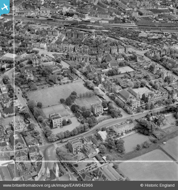
EAW042966 ENGLAND (1952). Croydon High School for Girls at the junction of Wellesley Road and Sydenham Road and environs, Croydon, 1952. This image was marked by Aerofilms Ltd for photo editing.
© Copyright OpenStreetMap contributors and licensed by the OpenStreetMap Foundation. 2026. Cartography is licensed as CC BY-SA.
Nearby Images (19)
EAW042966

EAW042973

EAW042968

EAW042969

EAW042965

EAW042970

EAW042972

EAW042964

EAW041376

EAW041383

EAW042967

EAW042971

EAW041382

EAW041379

EAW041378

EAW041377

EAW041380

EAW041381

EAW047594

Details
| Title | [EAW042966] Croydon High School for Girls at the junction of Wellesley Road and Sydenham Road and environs, Croydon, 1952. This image was marked by Aerofilms Ltd for photo editing. |
| Reference | EAW042966 |
| Date | 9-May-1952 |
| Link | |
| Place name | CROYDON |
| Parish | |
| District | |
| Country | ENGLAND |
| Easting / Northing | 532468, 166033 |
| Longitude / Latitude | -0.096433091677868, 51.377376806754 |
| National Grid Reference | TQ325660 |
Pins

vakart |
Sunday 11th of July 2021 05:50:12 PM |