
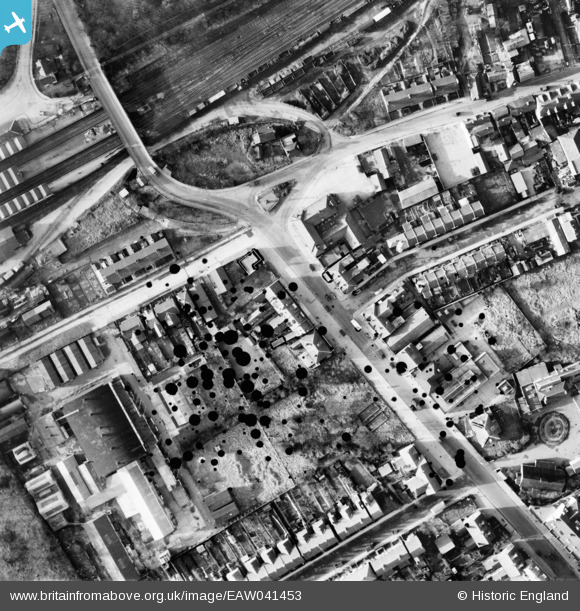
EAW041453 ENGLAND (1951). Shenley Road and environs, Borehamwood, 1951. This image has been produced from a damaged negative.
© Copyright OpenStreetMap contributors and licensed by the OpenStreetMap Foundation. 2026. Cartography is licensed as CC BY-SA.
Nearby Images (20)
EAW041453

EAW041455

EAW041456

EAW023319

EPW021917

EAW041454

EPW025491

EAW041452

EAW041451

EAW041445

EAW041448

EAW041457

EAW041449

EAW041447

EAW041450

EAW033460

EAW033461

EAW044079

EAW041446

EPW021916

Details
| Title | [EAW041453] Shenley Road and environs, Borehamwood, 1951. This image has been produced from a damaged negative. |
| Reference | EAW041453 |
| Date | 28-December-1951 |
| Link | |
| Place name | BOREHAMWOOD |
| Parish | ELSTREE AND BOREHAMWOOD |
| District | |
| Country | ENGLAND |
| Easting / Northing | 519143, 196434 |
| Longitude / Latitude | -0.27753724078491, 51.653587857012 |
| National Grid Reference | TQ191964 |
