
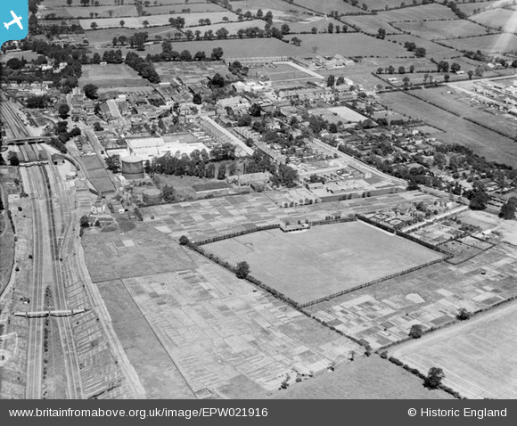
EPW021916 ENGLAND (1928). Borehamwood and environs, Borehamwood, 1928
© Copyright OpenStreetMap contributors and licensed by the OpenStreetMap Foundation. 2026. Cartography is licensed as CC BY-SA.
Nearby Images (8)
EPW021916

EPW021915

EAW041457

EPW025491

EPW021917

EAW023319

EAW041453

EAW041455

Details
| Title | [EPW021916] Borehamwood and environs, Borehamwood, 1928 |
| Reference | EPW021916 |
| Date | July-1928 |
| Link | |
| Place name | BOREHAMWOOD |
| Parish | ELSTREE AND BOREHAMWOOD |
| District | |
| Country | ENGLAND |
| Easting / Northing | 519360, 196216 |
| Longitude / Latitude | -0.27447600529587, 51.651582389412 |
| National Grid Reference | TQ194962 |
Pins

John W |
Wednesday 4th of September 2019 06:59:26 PM | |
|
John Wass |
Friday 24th of February 2017 02:37:59 PM | |
|
John W |
Saturday 11th of February 2017 04:01:17 PM | |
|
John W |
Wednesday 19th of October 2016 06:57:02 PM | |
|
observer |
Thursday 20th of November 2014 09:41:26 PM | |
|
observer |
Sunday 17th of February 2013 10:08:15 AM | |
|
observer |
Sunday 17th of February 2013 10:06:06 AM | |
|
observer |
Thursday 14th of February 2013 12:39:35 PM | |
|
observer |
Thursday 14th of February 2013 12:36:05 PM | |
|
observer |
Thursday 14th of February 2013 11:21:56 AM | |
|
Rebecca |
Friday 11th of January 2013 06:10:00 PM |
User Comment Contributions
The plane seems to be directly above the entrances to the tunnels which run under Woodcock Hill. The view is looking north. |
Scott Hatton |
Monday 25th of June 2012 03:35:22 PM |