
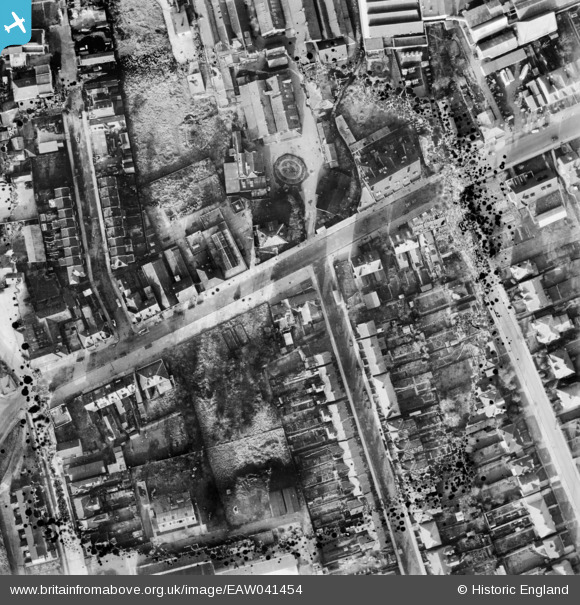
EAW041454 ENGLAND (1951). Shenley Road and environs, Borehamwood, 1951. This image has been produced from a damaged negative.
© Copyright OpenStreetMap contributors and licensed by the OpenStreetMap Foundation. 2026. Cartography is licensed as CC BY-SA.
Nearby Images (15)
EAW041454

EAW041453

EAW041456

EAW041455

EAW041457

EPW021917

EAW023319

EPW025491

EAW041452

EAW041451

EAW041448

EAW041445

EPW021915

EAW041449

EAW041450

Details
| Title | [EAW041454] Shenley Road and environs, Borehamwood, 1951. This image has been produced from a damaged negative. |
| Reference | EAW041454 |
| Date | 28-December-1951 |
| Link | |
| Place name | BOREHAMWOOD |
| Parish | ELSTREE AND BOREHAMWOOD |
| District | |
| Country | ENGLAND |
| Easting / Northing | 519229, 196504 |
| Longitude / Latitude | -0.27627066232019, 51.654198793815 |
| National Grid Reference | TQ192965 |
Pins
Be the first to add a comment to this image!