
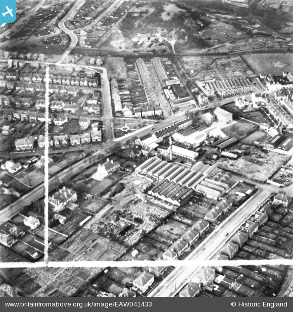
EAW041433 ENGLAND (1951). Croft Mill, Nottingham Road and environs, Mansfield, 1951. This image has been produced from a print marked by Aerofilms Ltd for photo editing.
© Copyright OpenStreetMap contributors and licensed by the OpenStreetMap Foundation. 2024. Cartography is licensed as CC BY-SA.
Nearby Images (9)
EAW041433

EAW041430

EAW041429

EAW041431

EAW041427

EAW041434

EAW041428

EAW041432

EAW041435

Details
| Title | [EAW041433] Croft Mill, Nottingham Road and environs, Mansfield, 1951. This image has been produced from a print marked by Aerofilms Ltd for photo editing. |
| Reference | EAW041433 |
| Date | 27-December-1951 |
| Link | |
| Place name | MANSFIELD |
| Parish | |
| District | |
| Country | ENGLAND |
| Easting / Northing | 453841, 359788 |
| Longitude / Latitude | -1.1951788036293, 53.132236768191 |
| National Grid Reference | SK538598 |
Pins
 Andy Bailey |
Wednesday 10th of May 2017 12:26:10 PM | |
John Wass |
Tuesday 10th of February 2015 08:32:17 PM |