
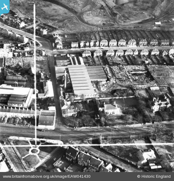
EAW041430 ENGLAND (1951). Croft Mill, Mansfield, 1951. This image has been produced from a print marked by Aerofilms Ltd for photo editing.
© Copyright OpenStreetMap contributors and licensed by the OpenStreetMap Foundation. 2024. Cartography is licensed as CC BY-SA.
Nearby Images (9)
EAW041430

EAW041431

EAW041429

EAW041434

EAW041427

EAW041432

EAW041428

EAW041435

EAW041433

Details
| Title | [EAW041430] Croft Mill, Mansfield, 1951. This image has been produced from a print marked by Aerofilms Ltd for photo editing. |
| Reference | EAW041430 |
| Date | 27-December-1951 |
| Link | |
| Place name | MANSFIELD |
| Parish | |
| District | |
| Country | ENGLAND |
| Easting / Northing | 453899, 359772 |
| Longitude / Latitude | -1.1943145974584, 53.132087079592 |
| National Grid Reference | SK539598 |
Pins
Be the first to add a comment to this image!