
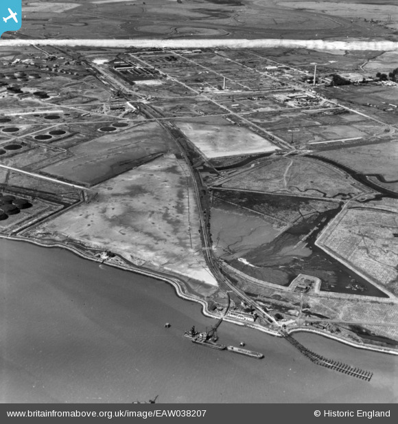
EAW038207 ENGLAND (1951). Stan Marsh, Port Victoria and environs, Isle of Grain, 1951. This image has been produced from a print marked by Aerofilms Ltd for photo editing.
© Copyright OpenStreetMap contributors and licensed by the OpenStreetMap Foundation. 2026. Cartography is licensed as CC BY-SA.
Nearby Images (11)
EAW038207

EAW048521

EAW038192

EAW038182

EAW038184

EAW038183

EAW038190

EAW038185

EAW038194

EAW039851

EAW038186

Details
| Title | [EAW038207] Stan Marsh, Port Victoria and environs, Isle of Grain, 1951. This image has been produced from a print marked by Aerofilms Ltd for photo editing. |
| Reference | EAW038207 |
| Date | 2-August-1951 |
| Link | |
| Place name | ISLE OF GRAIN |
| Parish | ISLE OF GRAIN |
| District | |
| Country | ENGLAND |
| Easting / Northing | 587522, 174279 |
| Longitude / Latitude | 0.69824997130699, 51.435935254465 |
| National Grid Reference | TQ875743 |
Pins

Matt Aldred edob.mattaldred.com |
Sunday 16th of May 2021 08:36:14 PM | |
|
Matt Aldred edob.mattaldred.com |
Sunday 16th of May 2021 08:35:55 PM | |
|
Matt Aldred edob.mattaldred.com |
Sunday 16th of May 2021 08:35:38 PM | |

redmist |
Wednesday 8th of July 2020 01:01:11 PM | |
|
redmist |
Wednesday 8th of July 2020 01:00:16 PM |