
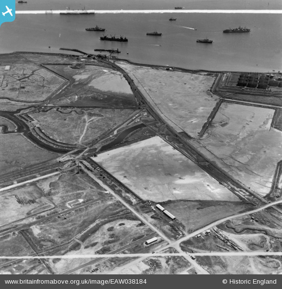
EAW038184 ENGLAND (1951). Stan Marsh and environs, Isle of Grain, 1951. This image has been produced from a print marked by Aerofilms Ltd for photo editing.
© Copyright OpenStreetMap contributors and licensed by the OpenStreetMap Foundation. 2026. Cartography is licensed as CC BY-SA.
Nearby Images (3)
EAW038184

EAW038182

EAW038207

Details
| Title | [EAW038184] Stan Marsh and environs, Isle of Grain, 1951. This image has been produced from a print marked by Aerofilms Ltd for photo editing. |
| Reference | EAW038184 |
| Date | 2-August-1951 |
| Link | |
| Place name | ISLE OF GRAIN |
| Parish | ISLE OF GRAIN |
| District | |
| Country | ENGLAND |
| Easting / Northing | 587412, 174489 |
| Longitude / Latitude | 0.6967802264028, 51.437858008443 |
| National Grid Reference | TQ874745 |
Pins

redmist |
Sunday 23rd of January 2022 10:55:45 PM | |
|
redmist |
Sunday 23rd of January 2022 10:55:20 PM | |
|
redmist |
Sunday 23rd of January 2022 10:55:01 PM | |
|
redmist |
Sunday 23rd of January 2022 10:54:39 PM | |
|
redmist |
Sunday 23rd of January 2022 10:53:41 PM | |

Matt Aldred edob.mattaldred.com |
Sunday 16th of May 2021 08:26:38 PM | |
|
Matt Aldred edob.mattaldred.com |
Sunday 16th of May 2021 08:26:21 PM | |
|
Matt Aldred edob.mattaldred.com |
Sunday 16th of May 2021 08:25:13 PM |