
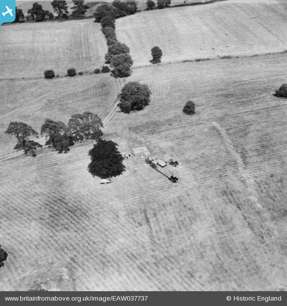
EAW037737 ENGLAND (1951). Baling hay nearby the village, Guilsborough, 1951
© Copyright OpenStreetMap contributors and licensed by the OpenStreetMap Foundation. 2025. Cartography is licensed as CC BY-SA.
Nearby Images (8)
EAW037737

EAW037731

EAW037729

EAW037735

EAW037733

EAW037736

EAW037734

EAW037732

Details
| Title | [EAW037737] Baling hay nearby the village, Guilsborough, 1951 |
| Reference | EAW037737 |
| Date | 17-July-1951 |
| Link | |
| Place name | GUILSBOROUGH |
| Parish | GUILSBOROUGH |
| District | |
| Country | ENGLAND |
| Easting / Northing | 467924, 272686 |
| Longitude / Latitude | -1.0027317192292, 52.34764846599 |
| National Grid Reference | SP679727 |
Pins
Be the first to add a comment to this image!