
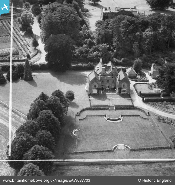
EAW037733 ENGLAND (1951). Guilsborough House, Guilsborough, 1951. This image was marked by Aerofilms Ltd for photo editing.
© Copyright OpenStreetMap contributors and licensed by the OpenStreetMap Foundation. 2025. Cartography is licensed as CC BY-SA.
Nearby Images (7)
EAW037733

EAW037734

EAW037736

EAW037735

EAW037732

EAW037731

EAW037737

Details
| Title | [EAW037733] Guilsborough House, Guilsborough, 1951. This image was marked by Aerofilms Ltd for photo editing. |
| Reference | EAW037733 |
| Date | 17-July-1951 |
| Link | |
| Place name | GUILSBOROUGH |
| Parish | GUILSBOROUGH |
| District | |
| Country | ENGLAND |
| Easting / Northing | 467741, 272735 |
| Longitude / Latitude | -1.0054082203292, 52.348111611565 |
| National Grid Reference | SP677727 |
Pins
Be the first to add a comment to this image!