
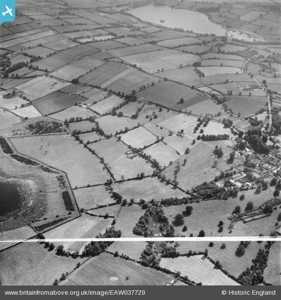
EAW037729 ENGLAND (1951). Guilsborough House and the surrounding countryside, Guilsborough, 1951. This image was marked by Aerofilms Ltd for photo editing.
© Copyright OpenStreetMap contributors and licensed by the OpenStreetMap Foundation. 2025. Cartography is licensed as CC BY-SA.
Nearby Images (2)
EAW037729

EAW037737

Details
| Title | [EAW037729] Guilsborough House and the surrounding countryside, Guilsborough, 1951. This image was marked by Aerofilms Ltd for photo editing. |
| Reference | EAW037729 |
| Date | 17-July-1951 |
| Link | |
| Place name | GUILSBOROUGH |
| Parish | GUILSBOROUGH |
| District | |
| Country | ENGLAND |
| Easting / Northing | 468082, 272748 |
| Longitude / Latitude | -1.0003997540906, 52.348186237416 |
| National Grid Reference | SP681727 |
Pins
Be the first to add a comment to this image!