
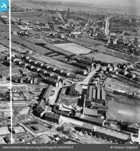
EAW035564 ENGLAND (1951). Longfield Shoddy Mills and environs, Heckmondwike, from the west, 1951. This image has been produced from a print marked by Aerofilms Ltd for photo editing.
© Copyright OpenStreetMap contributors and licensed by the OpenStreetMap Foundation. 2025. Cartography is licensed as CC BY-SA.
Nearby Images (10)
EAW035564

EAW035562

EAW035560

EAW035556

EAW035557

EAW035558

EAW035555

EAW035563

EAW035559

EAW035561

Details
| Title | [EAW035564] Longfield Shoddy Mills and environs, Heckmondwike, from the west, 1951. This image has been produced from a print marked by Aerofilms Ltd for photo editing. |
| Reference | EAW035564 |
| Date | 21-April-1951 |
| Link | |
| Place name | HECKMONDWIKE |
| Parish | |
| District | |
| Country | ENGLAND |
| Easting / Northing | 422029, 424010 |
| Longitude / Latitude | -1.6662017678275, 53.711820219216 |
| National Grid Reference | SE220240 |
Pins
 ibyorkie |
Wednesday 11th of April 2018 03:52:58 PM |