
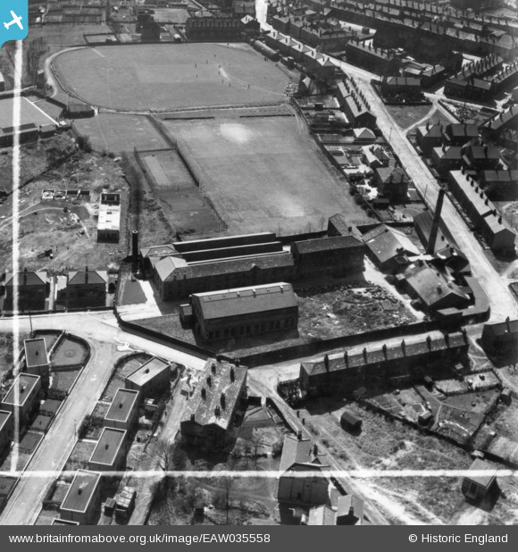
EAW035558 ENGLAND (1951). Longfield Shoddy Mills, Heckmondwike, 1951. This image has been produced from a print marked by Aerofilms Ltd for photo editing.
© Copyright OpenStreetMap contributors and licensed by the OpenStreetMap Foundation. 2025. Cartography is licensed as CC BY-SA.
Nearby Images (10)
EAW035558

EAW035557

EAW035563

EAW035564

EAW035556

EAW035562

EAW035560

EAW035559

EAW035555

EAW035561

Details
| Title | [EAW035558] Longfield Shoddy Mills, Heckmondwike, 1951. This image has been produced from a print marked by Aerofilms Ltd for photo editing. |
| Reference | EAW035558 |
| Date | 21-April-1951 |
| Link | |
| Place name | HECKMONDWIKE |
| Parish | |
| District | |
| Country | ENGLAND |
| Easting / Northing | 422030, 423981 |
| Longitude / Latitude | -1.6661886790301, 53.711559496289 |
| National Grid Reference | SE220240 |
Pins
Be the first to add a comment to this image!