
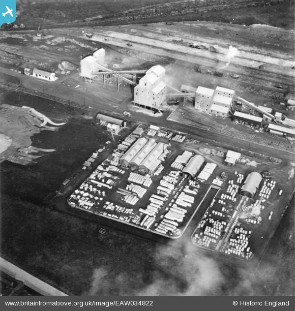
EAW034822 ENGLAND (1951). Part of the John Lysaght Normanby Park Steel Works, Scunthorpe, 1951. This image has been produced from a print.
© Copyright OpenStreetMap contributors and licensed by the OpenStreetMap Foundation. 2026. Cartography is licensed as CC BY-SA.
Nearby Images (48)
EPW048946

EAW023925

EAW021138

EAW027184

EAW031183

EAW034821

EAW023926

EAW034828

EAW027178

EAW021136

EAW021137

EAW013488

EPW048948

EAW028570

EAW028571

EPW048950

EAW009626

EAW013834

EAW013831

EAW034829

EAW038771

EAW013832

EAW049671

EAW031173

EAW021132

EAW038746

EPW048526

EAW009637

EAW028575

EAW038766

EAW028583

EAW034816

EAW013833

EAW041851

EAW016658

EAW009635

EAW041848

EPW048523

EAW041828

EAW031188

EAW041846

EAW041845

EAW041849

EPW048944

EAW041850

EAW028566

EAW016667

EAW049672

Details
| Title | [EAW034822] Part of the John Lysaght Normanby Park Steel Works, Scunthorpe, 1951. This image has been produced from a print. |
| Reference | EAW034822 |
| Date | 27-February-1951 |
| Link | |
| Place name | SCUNTHORPE |
| Parish | |
| District | |
| Country | ENGLAND |
| Easting / Northing | 489013, 414142 |
| Longitude / Latitude | -0.65423639800741, 53.616013828178 |
| National Grid Reference | SE890141 |
Pins
Be the first to add a comment to this image!