
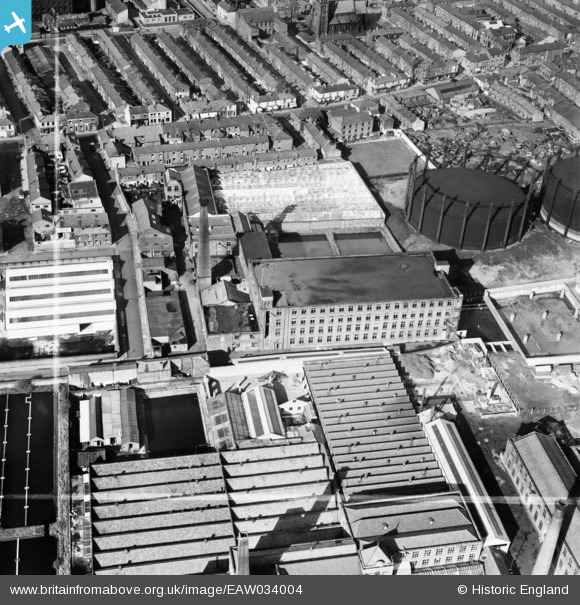
EAW034004 ENGLAND (1950). Hartford Mills, Preston, 1950. This image was marked by Aerofilms Ltd for photo editing.
© Copyright OpenStreetMap contributors and licensed by the OpenStreetMap Foundation. 2026. Cartography is licensed as CC BY-SA.
Nearby Images (17)
EAW034004

EAW034002

EAW034003

EAW034005

EAW033999

EAW034001

EAW034006

EAW034000

EAW015900

EAW015899

EAW015896

EPW004016

EAW015898

EAW015897

EPW013072

EAW015895

EAW015929

Details
| Title | [EAW034004] Hartford Mills, Preston, 1950. This image was marked by Aerofilms Ltd for photo editing. |
| Reference | EAW034004 |
| Date | 14-October-1950 |
| Link | |
| Place name | PRESTON |
| Parish | |
| District | |
| Country | ENGLAND |
| Easting / Northing | 355065, 429884 |
| Longitude / Latitude | -2.6817191138474, 53.763148914494 |
| National Grid Reference | SD551299 |
Pins
Be the first to add a comment to this image!