
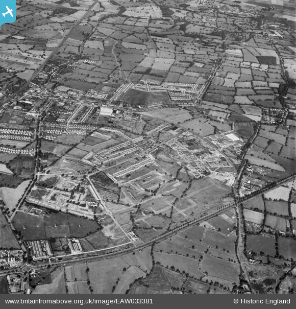
EAW033381 ENGLAND (1950). The area between Elstree Way, Furzehill Road and the Barnet Bypass under development, Borehamwood, 1950.
© Copyright OpenStreetMap contributors and licensed by the OpenStreetMap Foundation. 2026. Cartography is licensed as CC BY-SA.
Nearby Images (11)
EAW033381

EAW044273

EAW033383

EAW045740

EAW033382

EPW057941
 under construction, Borehamwood, from the west, 1938")
EAW044310

EAW045742

EAW045741

EAW031641

EAW045739

Details
| Title | [EAW033381] The area between Elstree Way, Furzehill Road and the Barnet Bypass under development, Borehamwood, 1950. |
| Reference | EAW033381 |
| Date | 10-October-1950 |
| Link | |
| Place name | BOREHAMWOOD |
| Parish | ELSTREE AND BOREHAMWOOD |
| District | |
| Country | ENGLAND |
| Easting / Northing | 520358, 196652 |
| Longitude / Latitude | -0.25990548725323, 51.655288397005 |
| National Grid Reference | TQ204967 |
Pins

Mark Amies |
Saturday 4th of February 2023 06:59:19 PM | |
|
Mark Amies |
Saturday 4th of February 2023 06:56:56 PM | |
|
Mark Amies |
Saturday 4th of February 2023 06:54:50 PM | |
|
Mark Amies |
Saturday 4th of February 2023 06:53:06 PM | |
|
NthLondonBoy |
Saturday 23rd of May 2020 04:47:17 PM | |
|
NthLondonBoy |
Saturday 23rd of May 2020 04:45:16 PM | |
|
NthLondonBoy |
Saturday 23rd of May 2020 04:44:09 PM | |
|
NthLondonBoy |
Saturday 23rd of May 2020 04:42:17 PM | |
|
a christie |
Thursday 14th of May 2020 05:12:19 PM | |
|
John W |
Wednesday 4th of September 2019 10:10:23 PM | |
|
John W |
Wednesday 4th of September 2019 10:06:59 PM |