
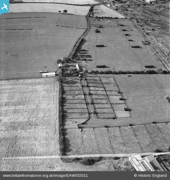
EAW032011 ENGLAND (1950). Blue Barns Poultry Farm, Ouston, 1950. This image was marked by Aerofilms Ltd for photo editing.
© Copyright OpenStreetMap contributors and licensed by the OpenStreetMap Foundation. 2025. Cartography is licensed as CC BY-SA.
Nearby Images (10)
EAW032011

EAW032002

EAW032005

EAW032009

EAW032006

EAW032007

EAW032008

EAW032010

EAW032004

EAW032003

Details
| Title | [EAW032011] Blue Barns Poultry Farm, Ouston, 1950. This image was marked by Aerofilms Ltd for photo editing. |
| Reference | EAW032011 |
| Date | 16-August-1950 |
| Link | |
| Place name | OUSTON |
| Parish | OUSTON |
| District | |
| Country | ENGLAND |
| Easting / Northing | 426403, 554986 |
| Longitude / Latitude | -1.5883464195811, 54.888834226533 |
| National Grid Reference | NZ264550 |
Pins
Be the first to add a comment to this image!