
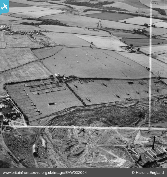
EAW032004 ENGLAND (1950). Blue Barns Poultry Farm and environs, Ouston, 1950. This image was marked by Aerofilms Ltd for photo editing.
© Copyright OpenStreetMap contributors and licensed by the OpenStreetMap Foundation. 2025. Cartography is licensed as CC BY-SA.
Nearby Images (10)
EAW032004

EAW032008

EAW032006

EAW032007

EAW032010

EAW032005

EAW032003

EAW032002

EAW032009

EAW032011

Details
| Title | [EAW032004] Blue Barns Poultry Farm and environs, Ouston, 1950. This image was marked by Aerofilms Ltd for photo editing. |
| Reference | EAW032004 |
| Date | 16-August-1950 |
| Link | |
| Place name | OUSTON |
| Parish | OUSTON |
| District | |
| Country | ENGLAND |
| Easting / Northing | 426415, 555095 |
| Longitude / Latitude | -1.5881493380205, 54.889813191979 |
| National Grid Reference | NZ264551 |
Pins
 redmist |
Friday 1st of November 2019 09:48:59 AM | |
redmist |
Thursday 31st of October 2019 11:17:08 PM | |
redmist |
Thursday 31st of October 2019 11:13:54 PM | |
redmist |
Thursday 31st of October 2019 11:11:36 PM | |
redmist |
Thursday 31st of October 2019 11:09:41 PM | |
redmist |
Thursday 31st of October 2019 11:08:32 PM | |
redmist |
Thursday 31st of October 2019 11:06:01 PM | |
 Class31 |
Wednesday 20th of August 2014 09:22:11 AM | |
Class31 |
Wednesday 20th of August 2014 09:18:51 AM | |
Class31 |
Wednesday 20th of August 2014 09:18:24 AM |