
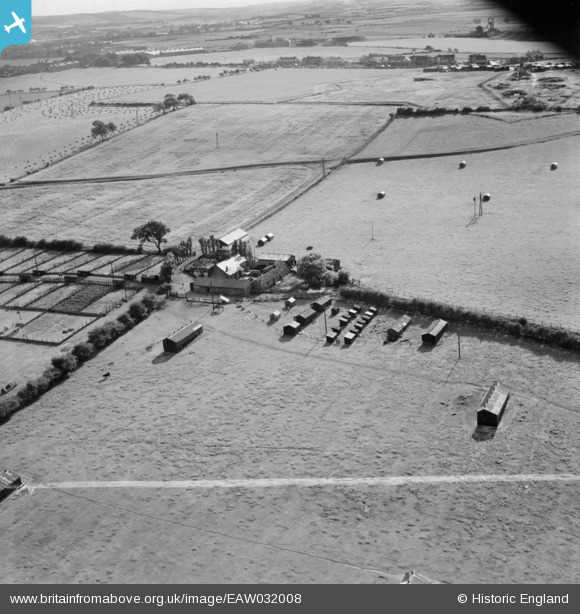
EAW032008 ENGLAND (1950). Blue Barns Poultry Farm, Ouston, 1950. This image was marked by Aerofilms Ltd for photo editing.
© Copyright OpenStreetMap contributors and licensed by the OpenStreetMap Foundation. 2025. Cartography is licensed as CC BY-SA.
Nearby Images (10)
EAW032008

EAW032006

EAW032005

EAW032004

EAW032002

EAW032009

EAW032007

EAW032010

EAW032003

EAW032011

Details
| Title | [EAW032008] Blue Barns Poultry Farm, Ouston, 1950. This image was marked by Aerofilms Ltd for photo editing. |
| Reference | EAW032008 |
| Date | 16-August-1950 |
| Link | |
| Place name | OUSTON |
| Parish | OUSTON |
| District | |
| Country | ENGLAND |
| Easting / Northing | 426407, 555067 |
| Longitude / Latitude | -1.5882766330683, 54.889561974481 |
| National Grid Reference | NZ264551 |
Pins
 redmist |
Thursday 31st of October 2019 11:35:31 PM | |
redmist |
Thursday 31st of October 2019 11:34:52 PM | |
redmist |
Thursday 31st of October 2019 11:34:04 PM | |
redmist |
Thursday 31st of October 2019 11:33:02 PM | |
redmist |
Thursday 31st of October 2019 11:29:45 PM | |
Stuart |
Monday 28th of July 2014 03:38:51 PM |