
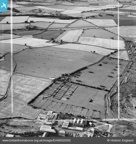
EAW032003 ENGLAND (1950). Blue Barns Poultry Farm and environs, Ouston, 1950. This image was marked by Aerofilms Ltd for photo editing.
© Copyright OpenStreetMap contributors and licensed by the OpenStreetMap Foundation. 2025. Cartography is licensed as CC BY-SA.
Nearby Images (10)
EAW032003

EAW032010

EAW032004

EAW032008

EAW032009

EAW032006

EAW032002

EAW032005

EAW032007

EAW032011

Details
| Title | [EAW032003] Blue Barns Poultry Farm and environs, Ouston, 1950. This image was marked by Aerofilms Ltd for photo editing. |
| Reference | EAW032003 |
| Date | 16-August-1950 |
| Link | |
| Place name | OUSTON |
| Parish | OUSTON |
| District | |
| Country | ENGLAND |
| Easting / Northing | 426359, 555113 |
| Longitude / Latitude | -1.5890207927398, 54.889977917026 |
| National Grid Reference | NZ264551 |
