
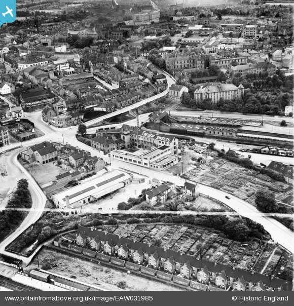
EAW031985 ENGLAND (1950). The Trebor Sweets Factory and environs, Chesterfield, 1950. This image was marked by Aerofilms Ltd for photo editing.
© Copyright OpenStreetMap contributors and licensed by the OpenStreetMap Foundation. 2026. Cartography is licensed as CC BY-SA.
Nearby Images (9)
EAW031985

EAW031983

EAW031980

EAW031979

EAW031981

EAW031982

EAW031984

EAW031978

EPW021081

Details
| Title | [EAW031985] The Trebor Sweets Factory and environs, Chesterfield, 1950. This image was marked by Aerofilms Ltd for photo editing. |
| Reference | EAW031985 |
| Date | 16-August-1950 |
| Link | |
| Place name | CHESTERFIELD |
| Parish | |
| District | |
| Country | ENGLAND |
| Easting / Northing | 438654, 371463 |
| Longitude / Latitude | -1.4207681620488, 53.238506822035 |
| National Grid Reference | SK387715 |
Pins

Tr@c3y |
Saturday 31st of January 2026 02:21:17 PM | |
|
Tr@c3y |
Saturday 31st of January 2026 02:18:05 PM | |

dd1000 |
Friday 15th of November 2024 09:15:00 PM | |
|
dd1000 |
Wednesday 4th of January 2023 06:16:26 PM | |
|
RichardL |
Friday 8th of August 2014 08:34:35 AM | |
|
RichardL |
Friday 8th of August 2014 08:32:42 AM |
