
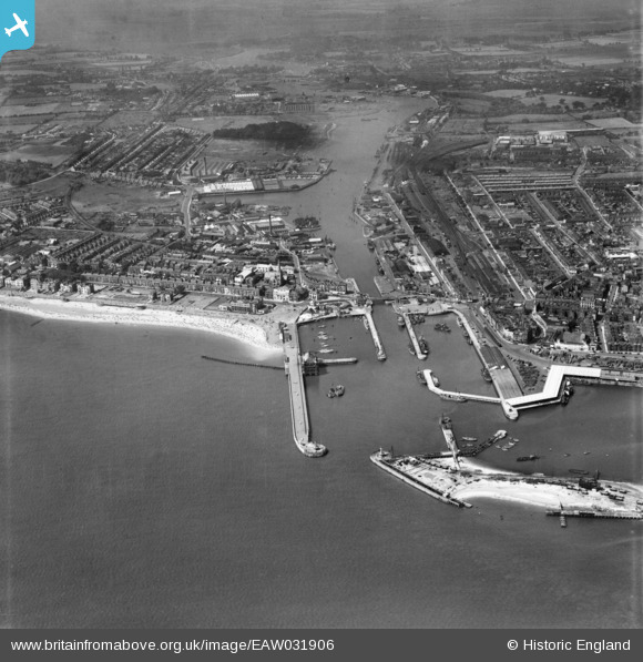
EAW031906 ENGLAND (1950). The docks, Lowestoft, 1950
© Copyright OpenStreetMap contributors and licensed by the OpenStreetMap Foundation. 2026. Cartography is licensed as CC BY-SA.
Nearby Images (17)
EAW031906

EAW025475

EAW052979

EAW047639

EPW021242

EAW052981

EAW031908

EAW031909

EAW005063

EPW021243

EAW047637

EAW052978

EAW047641

EPW021252

EAW052982

EAR032727

EAW031907

Details
| Title | [EAW031906] The docks, Lowestoft, 1950 |
| Reference | EAW031906 |
| Date | 14-August-1950 |
| Link | |
| Place name | LOWESTOFT |
| Parish | |
| District | |
| Country | ENGLAND |
| Easting / Northing | 654818, 292624 |
| Longitude / Latitude | 1.7524123594897, 52.471586206825 |
| National Grid Reference | TM548926 |
Pins

Matt Aldred edob.mattaldred.com |
Tuesday 1st of December 2020 08:01:13 PM | |

cptpies |
Tuesday 20th of May 2014 01:04:51 PM |
User Comment Contributions

Pillbox Lowestoft Docks |
cptpies |
Tuesday 20th of May 2014 01:06:21 PM |