
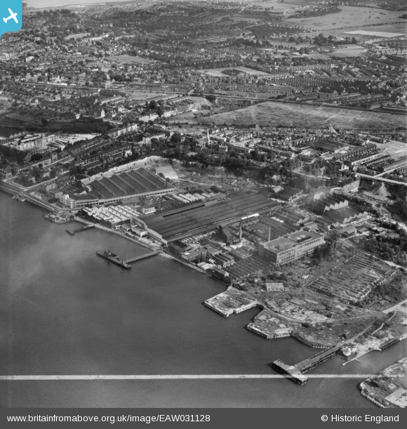
EAW031128 ENGLAND (1950). W.T. Henley Electric Cable Works and environs, Rosherville, 1950. This image was marked by Aerofilms Ltd for photo editing.
© Copyright OpenStreetMap contributors and licensed by the OpenStreetMap Foundation. 2026. Cartography is licensed as CC BY-SA.
Nearby Images (27)
EAW031128

EAW031129

EAW031126

EAW031125

EAW031123

EAW031127

EPW036582

EAW031132

EAW028717

EAW028719

EAW031131

EAW028716

EPW036578

EPW036587

EPW036576

EPW032816

EAW031130

EPW036577

EPW036580

EAW028720

EAW031124

EAW028718

EPW032818

EPW032817

EPW036581

EAW042093

EPW036579

Details
| Title | [EAW031128] W.T. Henley Electric Cable Works and environs, Rosherville, 1950. This image was marked by Aerofilms Ltd for photo editing. |
| Reference | EAW031128 |
| Date | 19-July-1950 |
| Link | |
| Place name | ROSHERVILLE |
| Parish | |
| District | |
| Country | ENGLAND |
| Easting / Northing | 563470, 174334 |
| Longitude / Latitude | 0.3525282692147, 51.443881576599 |
| National Grid Reference | TQ635743 |
Pins
Be the first to add a comment to this image!