
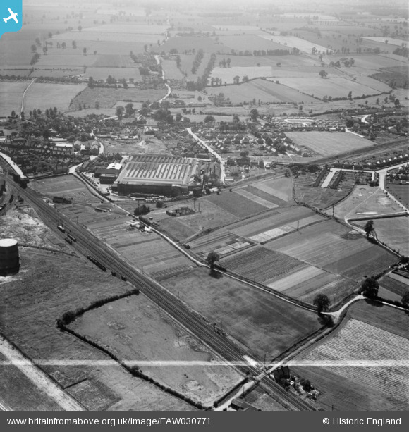
EAW030771 ENGLAND (1950). The Crittall Steel Works and environs, Witham, 1950. This image was marked by Aerofilms Ltd for photo editing.
© Copyright OpenStreetMap contributors and licensed by the OpenStreetMap Foundation. 2026. Cartography is licensed as CC BY-SA.
Nearby Images (12)
EAW030771

EAW030770

EPW022309

EAW030768

EAW030769

EPW022308

EPW022307

EPW022306

EAW030767

EAW030761

EAW030762

EAW030763

Details
| Title | [EAW030771] The Crittall Steel Works and environs, Witham, 1950. This image was marked by Aerofilms Ltd for photo editing. |
| Reference | EAW030771 |
| Date | 28-June-1950 |
| Link | |
| Place name | WITHAM |
| Parish | WITHAM |
| District | |
| Country | ENGLAND |
| Easting / Northing | 582208, 215584 |
| Longitude / Latitude | 0.64336136841983, 51.808704693104 |
| National Grid Reference | TL822156 |
Pins

Matt Aldred edob.mattaldred.com |
Thursday 11th of June 2020 07:26:01 PM | |
|
Matt Aldred edob.mattaldred.com |
Thursday 11th of June 2020 07:25:14 PM |