
EAW029067 ENGLAND (1950). The Royal Dock and Tidal Basin, Grimsby, 1950. This image was marked by Aerofilms Ltd for photo editing.

© Copyright OpenStreetMap contributors and licensed by the OpenStreetMap Foundation. 2026. Cartography is licensed as CC BY-SA.
Nearby Images (19)
EAW029067

EAW029074

EAW029410

EAW029072

EAW029077

EAW029068

EAW029014

EAW029075

EAW029406

EAW029407

EAW029404

EAW029409

EPW012668

EAW029073

EAW029405

EAW029411

EPW053397

EPW012666

EAW029016

Details
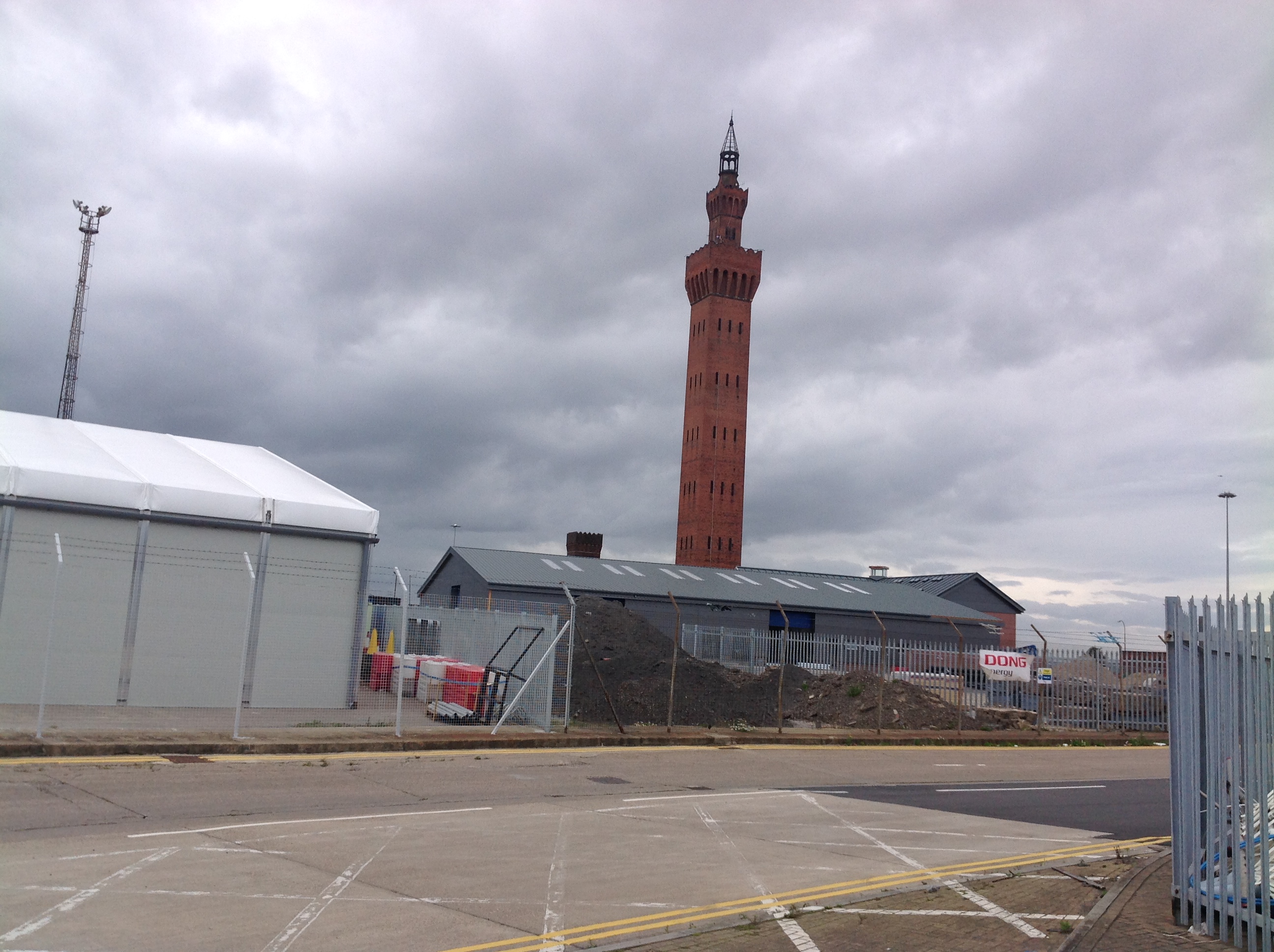
| Title | [EAW029067] The Royal Dock and Tidal Basin, Grimsby, 1950. This image was marked by Aerofilms Ltd for photo editing. |
| Reference | EAW029067 |
| Date | 10-May-1950 |
| Link | |
| Place name | GRIMSBY |
| Parish | |
| District | |
| Country | ENGLAND |
| Easting / Northing | 528053, 411340 |
| Longitude / Latitude | -0.065465700991532, 53.582751058484 |
| National Grid Reference | TA281113 |
Pins

redmist |
Wednesday 31st of October 2018 09:11:25 PM | |
|
redmist |
Wednesday 31st of October 2018 09:10:22 PM | |

Class31 |
Wednesday 15th of October 2014 05:12:40 PM | |
|
Class31 |
Tuesday 4th of March 2014 06:52:34 PM | |
|
Class31 |
Monday 3rd of March 2014 08:03:23 PM | |
|
Class31 |
Monday 3rd of March 2014 07:15:53 PM |

User Comment Contributions
The Dock Tower, Grimsby, 29/08/2014 |
Class31 |
Tuesday 24th of May 2016 10:28:38 PM |