
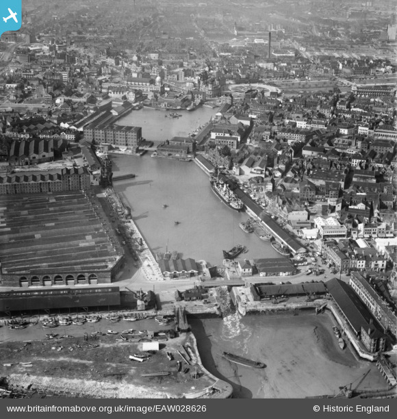
EAW028626 ENGLAND (1950). Humber Dock and Prince's Dock, Kingston upon Hull, 1950
© Copyright OpenStreetMap contributors and licensed by the OpenStreetMap Foundation. 2026. Cartography is licensed as CC BY-SA.
Nearby Images (9)
EAW028626

EPW012696

EPW012818

EAW046136

EAW046146

EAW046134

EPW012697

EAW028627

EAW028625

Details
| Title | [EAW028626] Humber Dock and Prince's Dock, Kingston upon Hull, 1950 |
| Reference | EAW028626 |
| Date | 5-April-1950 |
| Link | |
| Place name | KINGSTON UPON HULL |
| Parish | |
| District | |
| Country | ENGLAND |
| Easting / Northing | 509751, 428337 |
| Longitude / Latitude | -0.33581414307143, 53.739626793627 |
| National Grid Reference | TA098283 |
Pins

John Wass |
Saturday 7th of March 2020 08:38:42 PM | |
|
John Wass |
Sunday 22nd of June 2014 08:58:03 PM | |
|
John Wass |
Sunday 22nd of June 2014 08:55:09 PM | |
|
John Wass |
Sunday 22nd of June 2014 08:51:51 PM |