
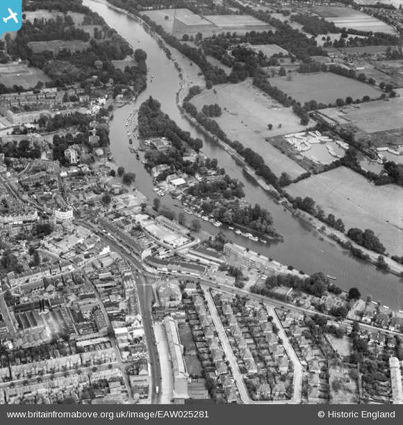
EAW025281 ENGLAND (1949). Eel Pie Island, Twickenham, 1949
© Copyright OpenStreetMap contributors and licensed by the OpenStreetMap Foundation. 2026. Cartography is licensed as CC BY-SA.
Nearby Images (9)
EAW025281

EAW025280

EPW023246

EPW022846

EPW023239

EPR000467

EAW025282

EPW023238

EPW022847

Details
| Title | [EAW025281] Eel Pie Island, Twickenham, 1949 |
| Reference | EAW025281 |
| Date | 22-July-1949 |
| Link | |
| Place name | TWICKENHAM |
| Parish | |
| District | |
| Country | ENGLAND |
| Easting / Northing | 516380, 173111 |
| Longitude / Latitude | -0.32518102579442, 51.444526404347 |
| National Grid Reference | TQ164731 |
