
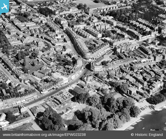
EPW023238 ENGLAND (1928). King Street, Twickenham, 1928
© Copyright OpenStreetMap contributors and licensed by the OpenStreetMap Foundation. 2026. Cartography is licensed as CC BY-SA.
Nearby Images (7)
EPW023238

EPW023239

EPW023246

EAW025281

EPW022846

EAW025280

EPR000467

Details
| Title | [EPW023238] King Street, Twickenham, 1928 |
| Reference | EPW023238 |
| Date | September-1928 |
| Link | |
| Place name | TWICKENHAM |
| Parish | |
| District | |
| Country | ENGLAND |
| Easting / Northing | 516268, 173294 |
| Longitude / Latitude | -0.32673193882211, 51.446194354548 |
| National Grid Reference | TQ163733 |
Pins

Ian |
Thursday 14th of May 2015 02:30:17 PM | |
|
Delboy |
Tuesday 16th of September 2014 05:03:25 PM | |
|
Patron |
Saturday 13th of September 2014 11:40:36 AM | |
|
Patron |
Saturday 13th of September 2014 11:40:01 AM | |
|
Patron |
Saturday 13th of September 2014 11:39:13 AM | |
|
Patron |
Saturday 13th of September 2014 11:38:28 AM | |
|
Patron |
Sunday 15th of December 2013 01:16:19 AM | |
|
Patron |
Sunday 15th of December 2013 12:59:17 AM | |
|
Arty |
Friday 19th of October 2012 06:16:41 PM | |
|
Arty |
Friday 13th of July 2012 05:36:51 PM | |
|
Arty |
Friday 13th of July 2012 05:36:10 PM | |
|
Simon King |
Tuesday 3rd of July 2012 08:49:03 PM | |
|
botogol |
Thursday 28th of June 2012 09:47:31 AM | |
Baths actually built on River Embankment almost on the edge of the photograph. Last time I saw was there c2011 the baths site was derelict waiting for redevelopment. |
Patron |
Sunday 15th of December 2013 12:50:27 AM |