
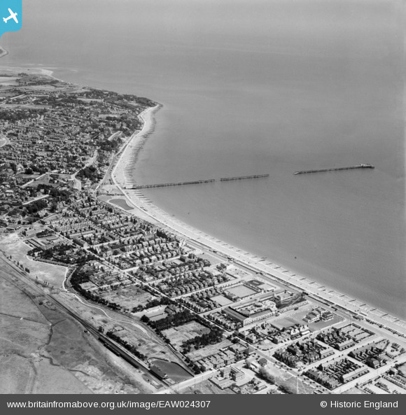
EAW024307 ENGLAND (1949). The pier, Felixstowe, from the south-west, 1949
© Copyright OpenStreetMap contributors and licensed by the OpenStreetMap Foundation. 2026. Cartography is licensed as CC BY-SA.
Nearby Images (7)
EAW024307

EPW002005

EAW048297

EAW048291

EAW024308

EAW024309

EAW048298

Details
| Title | [EAW024307] The pier, Felixstowe, from the south-west, 1949 |
| Reference | EAW024307 |
| Date | 4-July-1949 |
| Link | |
| Place name | FELIXSTOWE |
| Parish | FELIXSTOWE |
| District | |
| Country | ENGLAND |
| Easting / Northing | 629392, 233599 |
| Longitude / Latitude | 1.3387283699286, 51.953056688285 |
| National Grid Reference | TM294336 |
