
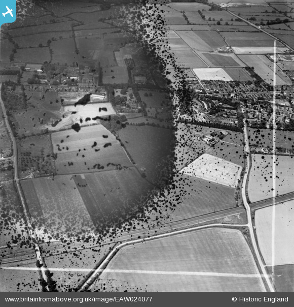
EAW024077 ENGLAND (1949). Roundhill Farm and environs, Syston, 1949. This image has been produced from a damaged negative.
© Copyright OpenStreetMap contributors and licensed by the OpenStreetMap Foundation. 2026. Cartography is licensed as CC BY-SA.
Nearby Images (11)
EAW024077

EAW024074

EAW024076

EAW024073

EAW024069

EAW024067

EAW024075

EAW024068

EAW024072

EAW024070

EAW024071

Details
| Title | [EAW024077] Roundhill Farm and environs, Syston, 1949. This image has been produced from a damaged negative. |
| Reference | EAW024077 |
| Date | 21-June-1949 |
| Link | |
| Place name | SYSTON |
| Parish | SYSTON |
| District | |
| Country | ENGLAND |
| Easting / Northing | 461853, 310326 |
| Longitude / Latitude | -1.084849908487, 52.686743547588 |
| National Grid Reference | SK619103 |
Pins
Be the first to add a comment to this image!